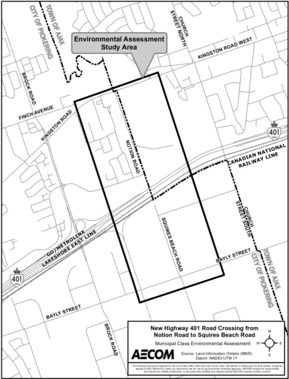
This Study is intended to improve network connectivity for pedestrians, cyclists and motorists resulting from continued growth in the City of Pickering and bring relief to the existing road infrastructure. The Study also supports the preparation for development of lands located south of Highway 401 and the rail corridor, west of Church Street South, East of a Canadian National Railway spur line, and north of Bayly Street.

This Study is being conducted in accordance with the four phase planning and design process for Schedule ‘C’ projects, as outlined in the Municipal Class EA process (Municipal Engineers Association, October 2000, as amended in 2007, 2011 and 2015), which is approved under the Environmental Assessment Act (R.S.O. 1990, c. E.18). Phase 1 of the Study will define the problem or opportunity, Phase 2 will identify and evaluate alternative solutions to the problem or opportunity, Phase 3 will evaluate alternative design concepts for the preferred solution and recommend a preferred design concept for the new road crossing, and Phase 4 will include the completion of an Environmental Study Report (ESR) for public and agency review.
Please contact Engineering Services for the following documents:
- Map of Study Area
- Notice of Study Commencement and Public Information Centre

